19.09.2011 | Frederik Ramm

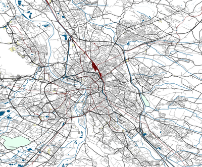
For years, Geofabrik has been supplying the world with OpenStreetMap Shapefiles – two kinds of them, in fact; there’s our popular download page which has free shapefile downloads for many places, updated daily, and there’s our extended shapefile service where we sell shapefiles that require more work, and processing time, than the free nightly builds.
Whereas the free nightly builds are very close to the source, simply taking OSM objects and converting them into shapefiles, the extended service, which is based on a different toolchain here at Geofabrik, has a well-documented feature catalogue which we are today releasing in version 0.6 with a ton of enhancements over the previous version. The extended service also encompasses a few useful preprocessing steps, like automatically converting area POIs to points and proper handling of large multipolygons. The extended shapefiles are made to order; the standard feature catalogue contains almost anything in OSM that is widely used, but clients can also request extra features to be added. Extended shapefiles are available for any area – the whole planet, a single continent, a single country, a city, or anything in between.
In addition to releasing our new feature catalogue for our extended shapefiles, we’ve also made a change to the free nightly builds; these now have a much-asked-for “landuse” layer that contains information from OSM’s tag of the same name.
(Eine deutsche Version folgt.)

Seit Jahren schon bietet die Geofabrik OpenStreetMap-Shapefiles an – und zwar zwei ganz verschiedene: Einmal gibt es unseren beliebten Download-Server mit kostenlosen, täglich aktualisierten Shapefiles für viele Orte, und außerdem haben wir auch noch unser erweitertes Shapefile-Angebot, mit Shapefiles, die größer sind oder mehr Arbeit und Laufzeit brauchen als die kostenlosen Shapes vom Download-Server.
Die kostenlosen Shapes sind “nah am Quelltext”, sie nehmen OSM-Objekte und konvertieren sie ohne weitere Veränderung in das Shapefile-Format. Die Shapefiles aus dem erweiterten Angebot werden mit anderen Werkzeugen erstellt und folgen einem wohldokumentierten Feature-Katalog, den wir heute mit zahlreichen Verbesserungen als Version 0.6 herausgebracht haben. Die erweiterten Shapefiles enthalten auch zusätzliche Verarbeitungsschritte wie zum Beispiel die Konvertierung von Flächen-POIs in Punkte oder die korrekte Behandlung von Multipolygon-Flächen. Die erweiterten Shapefiles werden für jeden Auftrag maßgeschneidert; der Standard-Feature-Katalog enthält zwar fast alles, was in OSM verbreitet ist, aber Kunden können durchaus auch Extrawünsche äußern. Diese Shapefiles gibt es für Gebiete jeder Größe – vom ganzen Planeten über einzelne Kontinente oder Länder bis hinunter zu einem einzelnen Stadtgebiet.
Wir haben heute nicht nur den Feature-Katalog 0.6 für die erweiterten Shapefiles fertiggestellt, sondern auch eine oft nachgefragte Ergänzung an den kostenlosen Shapes auf unserem Downloadserver vorgenommen: Dort gibt es jetzt neu einen “landuse”-Layer mit Flächennutzungsdaten aus OpenStreetMap.