
29.07.2015 | Frederik Ramm
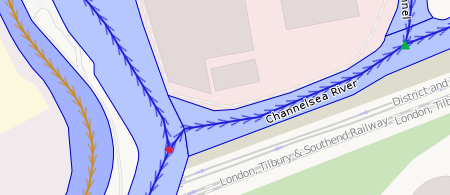
A new, world-wide water and waterway debug layer is live at the OSM Inspector web site. We’ve done away with the old VMAP0 river reference, and extended coverage from Europe-only to the whole planet.
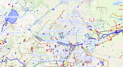
There’s tons of new features – for example, OSMI will detect when a river changes its name, or starts out of nowhere (or ends in something that is not another body of water).
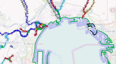
Rivers without names are highlighted, as are directional problems where two parts of a river flow towards, or away from, the same point.
The software backing these new layers has been written in C++ (using Jochen Topf’s excellent Osmium library) by Geofabrik intern Nathanael Lang. It is Free Software, and can be run in a standalone fashion to convert an OSM .pbf file into a SQLite database if you’d like to run your own analyses. Fork it, or report issues, on GitHub!