
21.03.2025 | Frederik Ramm
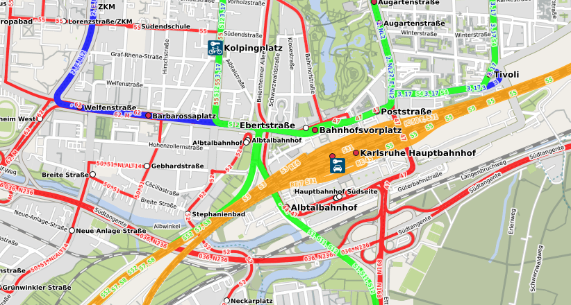
We’re happy to announce that we now have a nice public transport map, courtesy of Melchior Moos who runs the original öpnvkarte.de web site. Geofabrik now hosts its own version of that original “ÖPNVKarte” (“ÖPNV” is the German acronym for public transport), and we’ll be offering it to international customers under the somewhat simpler name “Public Transport Map”.
We’ll also approach the OpenStreetMap operations team and recommend this map for inclusion on www.openstreetmap.org which has featured ÖPNVKarte for a long time and only recently dropped it due to operational concerns.
This public transport map currently relies on a proprietary database importer written by Melchior Moos, but using the work contributed by our recent Geofabrik intern Max Hoogerdijk, we’re planning to publish import scripts compatible with osm2pgsql’s Themepark import mechanism under an open source license soon.